Jomalig Island home to the Beach the Pacific Keeps Hidden
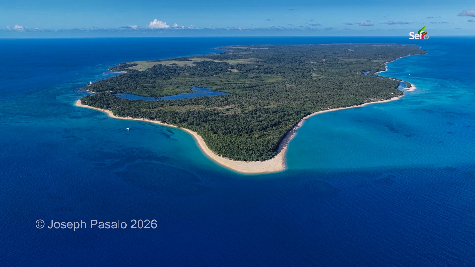
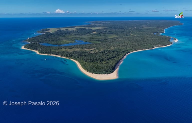
More than 70 kilometers off Real, Quezon and hours across the open sea, Jomalig Island hides a golden beach as wide as Boracay — with almost no one there to share it.
FEATURED STORIES
Joseph P
7/1/20267 min read
The Long Way to Jomalig:
Quezon's Hidden Island Facing the Pacific
By Joseph Pasalo
It was still dark when I pushed away my plate at a small eatery near the pier in Real, Quezon. We had rolled into town close to eleven the night before, and now, at five in the morning, the first boats were already slipping out of the port. They were loaded with passengers and cargo, every one of them pointed at the same speck on the map — a low, green island more than seventy kilometers out, sitting alone with its back turned to the Pacific Ocean.
That island is Jomalig. For years it was the one corner of Quezon I kept missing. I have made more trips to mainland Luzon than I can count, but Jomalig always stayed just out of reach, mostly because getting there is not easy. You need a calm day and a free morning, and on this particular day the weather finally gave me both.
Watch the video

A long crossing
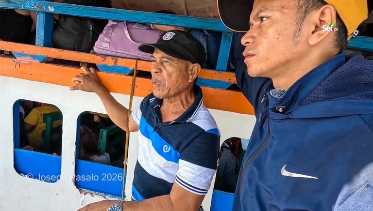
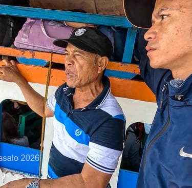
The boats that serve Jomalig are small and built from light materials, so they only carry so much. That makes the morning queue long. If you want a seat on the first trip, the locals will tell you the same thing they told me: be at the port by four. We were lucky to squeeze onto a boat just as it filled.
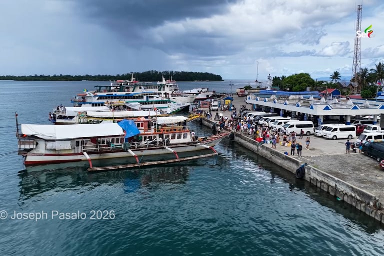
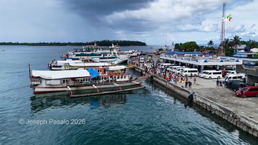
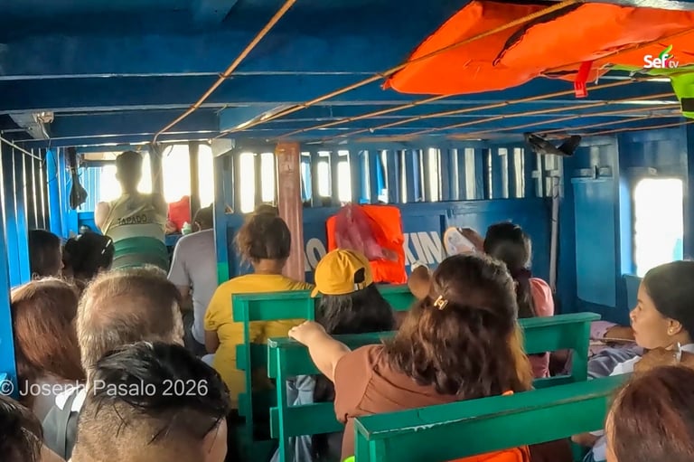
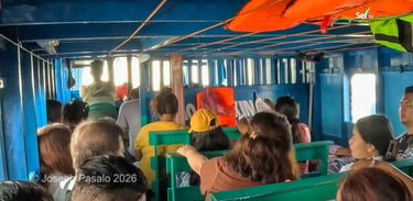
For the first two hours, the sea was kind. We slid past the bigger islands of Quezon — Polillo and Patnanungan among them — which dwarf little Jomalig and even have their own roll-on, roll-off ferries. Then the water changed. The swells rolled in, the boat began to pitch, and one of my companions groaned, "Bro, I'm dizzy." The other passengers only shrugged. This, they said, was the gentlest the waves get this time of year.
From the point where the sea turned rough, we still had more than two hours to go. All told, the crossing took us the better part of the morning — over four hours of open water. But somewhere along the way, the complaints faded. Even from far off, you could see why people make this trip. The island shimmered ahead of us, low and green and ringed with pale sand.
A welcome at the edge of the country
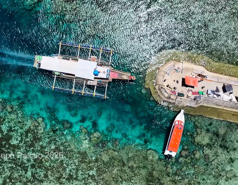
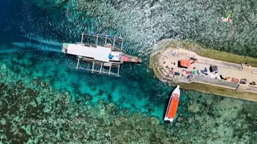
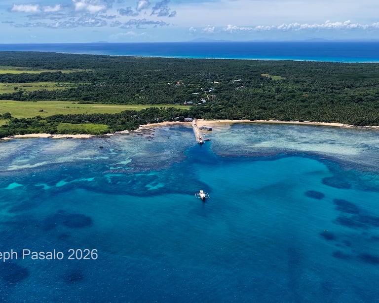
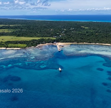
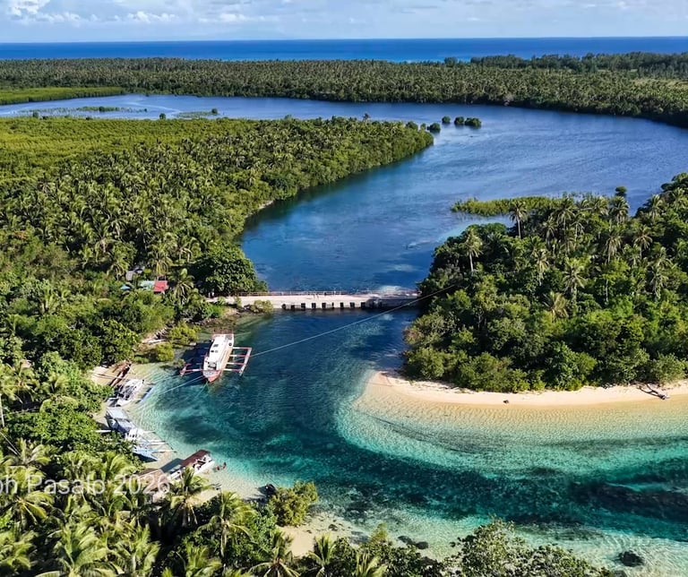
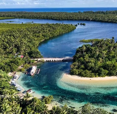
We pulled into a harbor where local kids were swimming in the shallows, completely at ease. One thing I noticed right away: a deep channel had been carved into the seabed leading to the dock, so boats can land at any hour without waiting for the tide to rise.
Waiting for us on the pier was Ma'am Jessica from the Jomalig Tourism Office, who would be our guide for the next two days. Near the port, I spotted something I did not expect on so
remote an island — an airstrip. It is real and in use, Ma'am Jessica told me, mostly for small private planes. Landowners who want to visit, she said, simply rent a plane out of Bulacan.
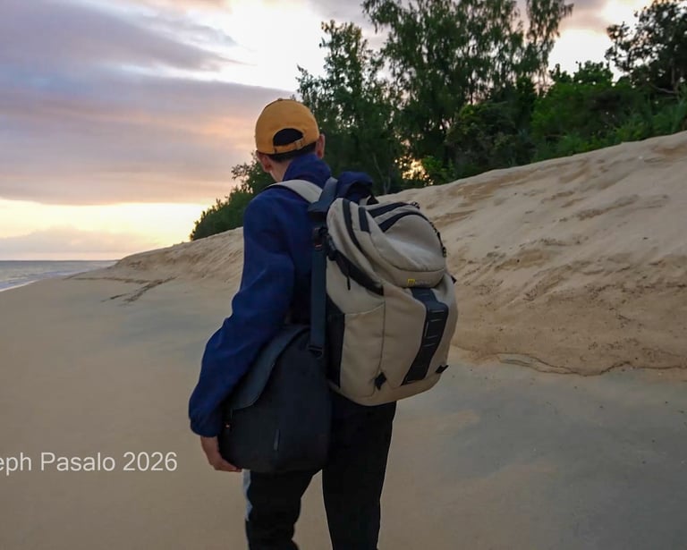
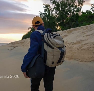
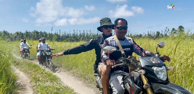
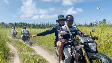
Jomalig is bigger than I imagined, far too much to see in a single day, so we set the heavy exploring aside for the morning and rode by motorcycle to Tejada's Beach Resort, where we would sleep. The island has plenty of these little resorts. You will not see many cars in the town center, but the main roads are surprisingly wide and well paved.
Our room was simple and comfortable — a sink, some storage, a bed for two, even air conditioning. The best part was at the back. "This is what we'll see when we wake up," I remember saying. Just beyond the door was the open sea.
Golden sand and a wall of sand
After lunch and a short rest, we set out for the beach everyone comes to see, about twenty minutes from the resort. We had planned to walk the whole way along the shore, but the path twists and turns, so a local gave us a lift to the far end of the island.
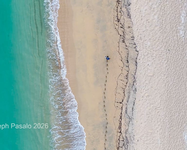
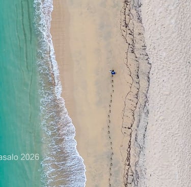
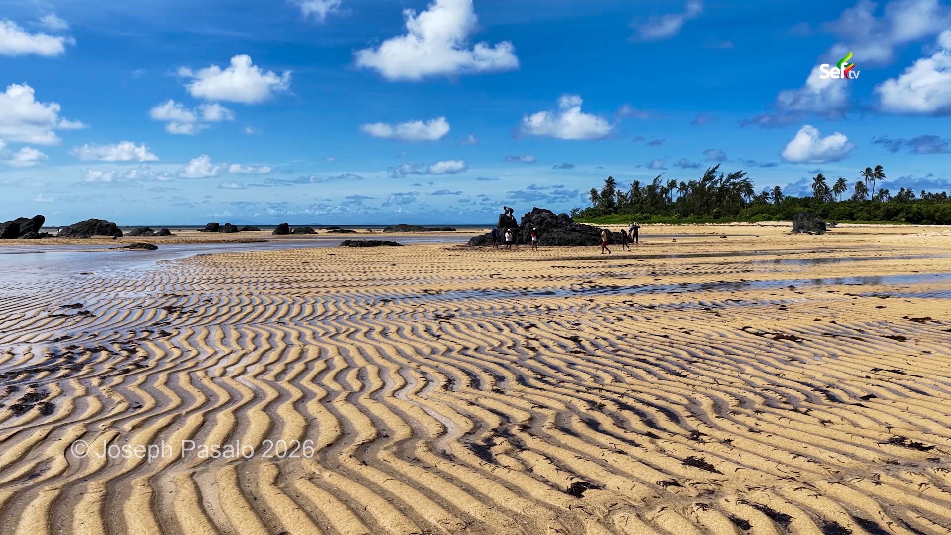
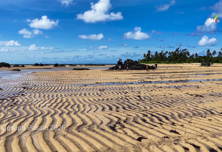
The beach sits in Sitio Salibungot, in Barangay Talisoy, and it is famous for its golden color. It is as wide as Boracay, scattered with bits of coral and seashells, and the water runs clear right up to your feet. At the end of the sand is the spot where everyone gathers at dusk. As the afternoon wore on, more and more people drifted in to claim a place and wait for the sun to drop into the sea.
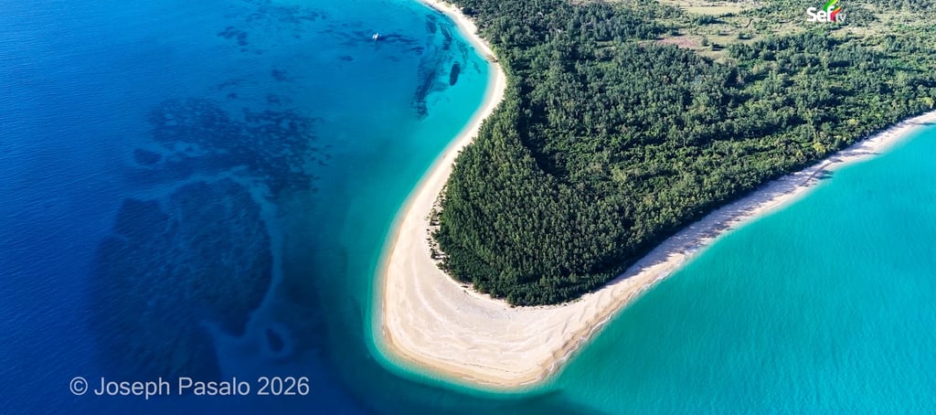
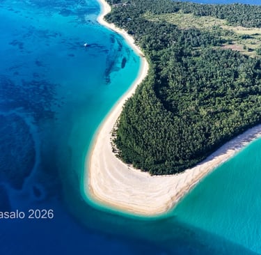
There was still light left, so we crossed to the wilder side of the island, past tall grass and a beach that rises like a wall. The sand there has piled up so high that it sits above the level of the sea, and walking along it felt like standing on an embankment looking down at the waves.
A full day of hidden coves
The next morning, Ma'am Jessica laid out our route: Kanaway Islet and Turtle Rock, lunch at Pamana Beach Resort, then a place the locals call Little Batanes. It was a lot of ground to cover, and I was glad to have a guide who knew the way.
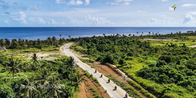
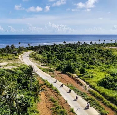
The road to the far end of the island turned out to be a sight in itself — smooth pavement winding past the ocean and endless coconut trees. This was the island feeling I had come for.
Kanaway and Turtle Rock sit in Barangay Apad, and they are strange and beautiful. The sand here forms gentle ripples that appear around the full moon, when the tide and the island's own marsh push water back and forth. I asked Ma'am Jessica how such a small island could have a river. The marshlands act like a basin, she explained, catching and
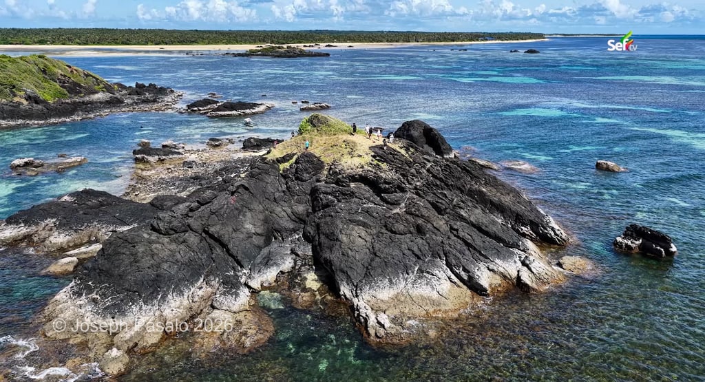
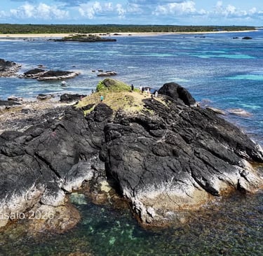
holding fresh water — which is why the water here does not taste of salt. Out front, huge rocks face the Pacific head-on, scarred and shaped by years of storms. They reminded me of the white limestone cliffs of El Nido. For a hundred pesos round trip, you can hop out to a cluster of small islets, or snorkel a patch of white sand crowded with starfish.
The quiet life of the island
Not everything on Jomalig is about beaches. The fine white sand itself, I learned, is partly the work of parrotfish, which nibble at the coral and turn it into the soft powder underfoot.
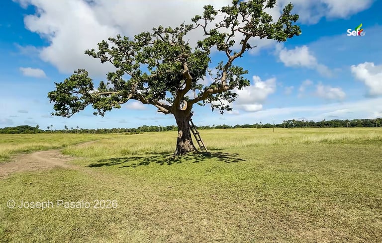
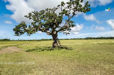
In the mangroves, our caretaker showed us the oldest Piyapi tree on the island and pointed out the holes in the mud where crabs hide. He takes his job seriously. "Nothing should be damaged here," he said, "not even the roots." When he needs to mark something, he simply ties a knot. There is even a lone, much-photographed tree the locals have nicknamed the "Tree of No Forever."
In the town center at Barangay Talisoy, life ticks along quietly. There are small groceries and a canteen that doubles as a restaurant for visitors, and a tall tower keeps the Smart and Globe signals strong. For anyone wondering about the basics: there is a health center rather than a hospital, the power runs twenty-four hours through QUEZELCO, and most homes draw water from deep wells, with two refilling stations for drinking water.
A marsh, and a view across to Bicol
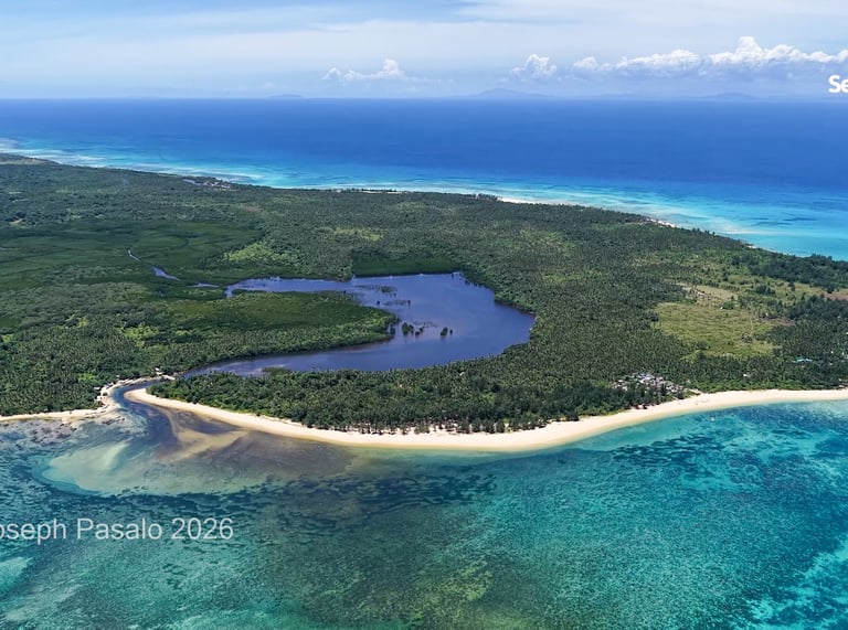
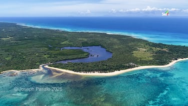
Our final stop was meant to be simple, but it turned out to hold the deepest story. Jomalig covers about five thousand hectares, and more than a hundred of them are marshland. At Sitio Begwangan, just a few kilometers from town, the Begwangan marsh stretches out under the open sky. The water is astonishingly clear — no trash, no debris, just fish and birds and the still surface mirroring the mangroves. Locals fish here in season. Crocodiles once lived in these waters, an old caretaker told me, though no one sees them anymore.
Standing at the edge of the marsh, our guide pointed across the water to another coastline. That was not Quezon. It was Camarines Norte — the towns of Capalonga and Panganiban, in Bicol. "That's where I grew up," she said. From Jomalig, that shore is only about three hours away by direct boat. The trip back to mainland Quezon, by contrast, takes close to five. And yet, for all that it leans toward Bicol, this far-flung island still belongs to Quezon.
That, in the end, is the strange charm of Jomalig. It is harder to reach than almost anywhere else I have filmed, tucked at the eastern edge of the country where the maps run out and the Pacific begins. But the long way there is exactly what has kept it the way it is — golden, quiet, and unspoiled. A hidden paradise, in every sense of the words.